
Thank you for supporting this site ❤️
Make a donation
Make a donation
Travis Park topographic map
Click on the map to display elevation.
Thank you for supporting this site ❤️
Make a donation
Make a donation
About this map
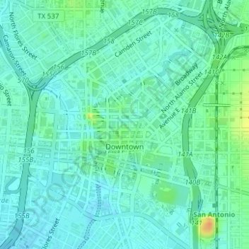
Name: Travis Park topographic map, elevation, terrain.
Average elevation: 204 m
Minimum elevation: 195 m
Maximum elevation: 230 m
Thank you for supporting this site ❤️
Make a donation
Make a donation
Other topographic maps
Click on a map to view its topography, its elevation and its terrain.
Government Canyon State Natural Area
United States > Texas > Bexar County > San Antonio
Average elevation: 357 m