Geolocate
👉 Easily get elevation data in JSON, GeoTIFF and KML formats using Elevation API
Thank you for supporting this site ❤️
Make a donation

Odoba topographic map

Click on the map to display elevation.

👉 Easily get elevation data in JSON, GeoTIFF and KML formats using Elevation API
Thank you for supporting this site ❤️
Make a donation

About this map

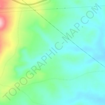
Name: Odoba topographic map, elevation, terrain.

Location: Odoba, Ogbadibo, Benue State, Nigeria (7.10655 7.71741 7.14655 7.75741)

Average elevation: 239 m

Minimum elevation: 186 m

Maximum elevation: 382 m