
Nando topographic map
Interactive map
Click on the map to display elevation.
About this map
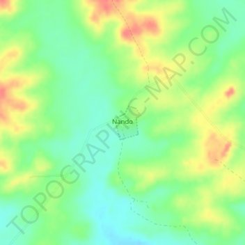
Name: Nando topographic map, elevation, terrain.
Location: Nando, Cerro Largo, 37000, Uruguay (-32.17592 -54.08640 -32.17220 -54.08294)
Average elevation: 125 m
Minimum elevation: 101 m
Maximum elevation: 156 m