
Thank you for supporting this site ❤️
Make a donation
Make a donation
Zweifelscheid topographic map
Click on the map to display elevation.
Thank you for supporting this site ❤️
Make a donation
Make a donation
About this map
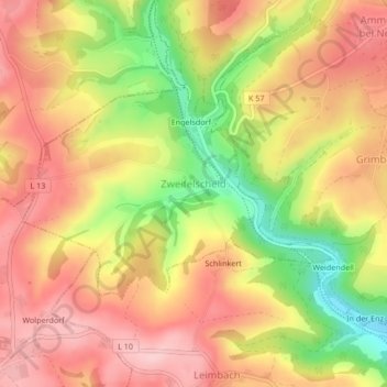
Name: Zweifelscheid topographic map, elevation, terrain.
Average elevation: 463 m
Minimum elevation: 356 m
Maximum elevation: 533 m
Thank you for supporting this site ❤️
Make a donation
Make a donation
Other topographic maps
Click on a map to view its topography, its elevation and its terrain.
Stalbach
Duitsland > Rijnland-Palts > Eifelkreis Bitburg-Prüm > Lichtenborn > Stalbach
Average elevation: 498 m
Thank you for supporting this site ❤️
Make a donation
Make a donation