
Thank you for supporting this site ❤️
Make a donation
Make a donation
Le Mourcy topographic map
Click on the map to display elevation.
Thank you for supporting this site ❤️
Make a donation
Make a donation
About this map
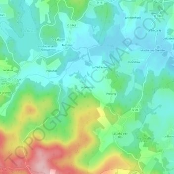
Name: Le Mourcy topographic map, elevation, terrain.
Average elevation: 797 m
Minimum elevation: 745 m
Maximum elevation: 927 m
Thank you for supporting this site ❤️
Make a donation
Make a donation
Other topographic maps
Click on a map to view its topography, its elevation and its terrain.
Étang de Méouze
France > Nouvelle-Aquitaine > Creuse > Saint-Oradoux-de-Chirouze > Le Moulin de Méouze
Average elevation: 783 m