
Bebeji topographic map
Interactive map
Click on the map to display elevation.
About this map
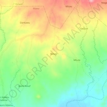
Name: Bebeji topographic map, elevation, terrain.
Location: Bebeji, Kwaya Kusar, Borno, Nigeria (10.47486 11.91549 10.51486 11.95549)
Average elevation: 392 m
Minimum elevation: 328 m
Maximum elevation: 470 m