
Haiger topographic map
Click on the map to display elevation.
About this map
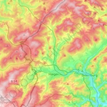
Name: Haiger topographic map, elevation, terrain.
Location: Haiger, Lahn-Dill-Kreis, Hesse, 35708, Germany (50.69332 8.12550 50.85094 8.30014)
Average elevation: 409 m
Minimum elevation: 206 m
Maximum elevation: 607 m