
Gullfoss topographic map
Interactive map
Click on the map to display elevation.
About this map
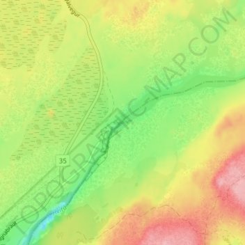
Name: Gullfoss topographic map, elevation, terrain.
Location: Gullfoss, Bláskógabyggð, Southern Region, Iceland (64.32727 -20.11915 64.32737 -20.11905)
Average elevation: 221 m
Minimum elevation: 161 m
Maximum elevation: 285 m
Other topographic maps
Click on a map to view its topography, its elevation and its terrain.
Þingvellir National Park
Þingvellir National Park, Bláskógabyggð, Southern Region, Iceland
Average elevation: 316 m
Geysir
Geysir, Haukadalsvegur, Bláskógabyggð, Southern Region, Iceland
Average elevation: 116 m