
Thank you for supporting this site ❤️
Make a donation
Make a donation
Ed Rogers Wayside topographic map
Click on the map to display elevation.
Thank you for supporting this site ❤️
Make a donation
Make a donation
About this map
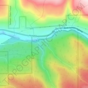
Name: Ed Rogers Wayside topographic map, elevation, terrain.
Location: Ed Rogers Wayside, Linn County, Oregon, United States (44.75479 -122.33124 44.75489 -122.33114)
Average elevation: 492 m
Minimum elevation: 296 m
Maximum elevation: 748 m
Thank you for supporting this site ❤️
Make a donation
Make a donation
Other topographic maps
Click on a map to view its topography, its elevation and its terrain.