
Torrington topographic map
Click on the map to display elevation.
About this map
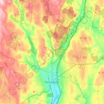
Name: Torrington topographic map, elevation, terrain.
Location: Torrington, Litchfield County, Connecticut, United States (41.77565 -73.20184 41.89428 -73.05364)
Average elevation: 303 m
Minimum elevation: 151 m
Maximum elevation: 459 m