
Thank you for supporting this site ❤️
Make a donation
Make a donation
Reftele topographic map
Click on the map to display elevation.
Thank you for supporting this site ❤️
Make a donation
Make a donation
About this map
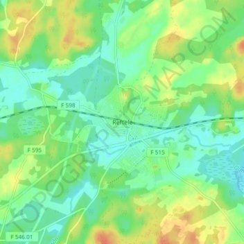
Name: Reftele topographic map, elevation, terrain.
Location: Reftele, Gislaveds kommun, Provinz Jönköping, 330 21, Schweden (57.15576 13.57298 57.19576 13.61298)
Average elevation: 156 m
Minimum elevation: 142 m
Maximum elevation: 177 m
Thank you for supporting this site ❤️
Make a donation
Make a donation
Other topographic maps
Click on a map to view its topography, its elevation and its terrain.