
Thank you for supporting this site ❤️
Make a donation
Make a donation
Ajegunle topographic map
Click on the map to display elevation.
Thank you for supporting this site ❤️
Make a donation
Make a donation
About this map
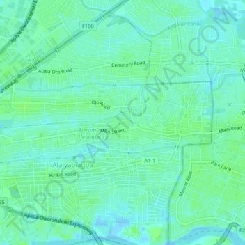
Name: Ajegunle topographic map, elevation, terrain.
Location: Ajegunle, Ajeromi/Ifelodun, Lagos, 101212, Nigeria (6.43679 3.32149 6.47679 3.36149)
Average elevation: 5 m
Minimum elevation: -2 m
Maximum elevation: 9 m
Thank you for supporting this site ❤️
Make a donation
Make a donation