
Thank you for supporting this site ❤️
Make a donation
Make a donation
Iver Heath topographic map
Click on the map to display elevation.
Thank you for supporting this site ❤️
Make a donation
Make a donation
About this map
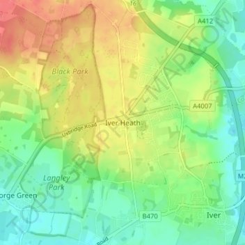
Name: Iver Heath topographic map, elevation, terrain.
Location: Iver Heath, Buckinghamshire, England, SL0 0LP, United Kingdom (51.51436 -0.55025 51.55436 -0.51025)
Average elevation: 50 m
Minimum elevation: 26 m
Maximum elevation: 82 m
Thank you for supporting this site ❤️
Make a donation
Make a donation
Other topographic maps
Click on a map to view its topography, its elevation and its terrain.