
Wigmore topographic map
Interactive map
Click on the map to display elevation.
About this map
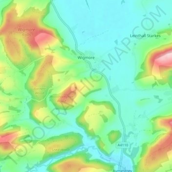
Name: Wigmore topographic map, elevation, terrain.
Location: Wigmore, Herefordshire, West Midlands, England, United Kingdom (52.28662 -2.92070 52.32821 -2.83849)
Average elevation: 172 m
Minimum elevation: 102 m
Maximum elevation: 287 m