
Parang topographic map
Click on the map to display elevation.
About this map
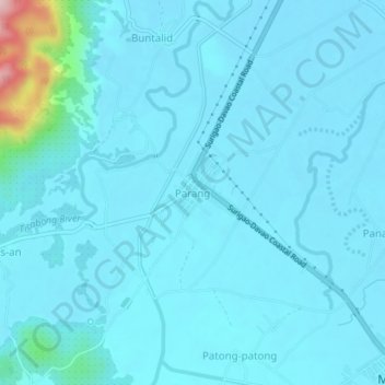
Name: Parang topographic map, elevation, terrain.
Location: Parang, Surigao del Sur, Caraga, 8316, Philippines (9.26113 125.92207 9.30113 125.96207)
Average elevation: 28 m
Minimum elevation: 7 m
Maximum elevation: 262 m
Other topographic maps
Click on a map to view its topography, its elevation and its terrain.