
Kuduru topographic map
Interactive map
Click on the map to display elevation.
About this map
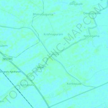
Name: Kuduru topographic map, elevation, terrain.
Location: Kuduru, Krishna, Pedana, Andhra Pradesh, 521366, India (16.27343 81.11779 16.31343 81.15779)
Average elevation: 5 m
Minimum elevation: 3 m
Maximum elevation: 8 m