
Thank you for supporting this site ❤️
Make a donation
Make a donation
Hohenberg topographic map
Click on the map to display elevation.
Thank you for supporting this site ❤️
Make a donation
Make a donation
Hohenberg
Am Fuß des Berges liegt der Rosenberger Teilort Hohenberg. In der St.-Jakobus-Straße beginnt auf Höhe des Alten Pfarrhauses (→ Lage)49.0022110.045112 ein Kreuzweg mit dreizehn Station, der auf den Berggipfel zur Jakobuskirche führt.
Thank you for supporting this site ❤️
Make a donation
Make a donation
About this map
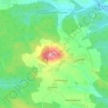
Name: Hohenberg topographic map, elevation, terrain.
Average elevation: 490 m
Minimum elevation: 448 m
Maximum elevation: 569 m
Thank you for supporting this site ❤️
Make a donation
Make a donation