
Khaga topographic map
Interactive map
Click on the map to display elevation.
About this map
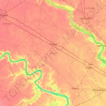
Name: Khaga topographic map, elevation, terrain.
Location: Khaga, Fatehpur, Uttar Pradesh, 212655, India (25.44519 80.94518 26.00448 81.32798)
Average elevation: 107 m
Minimum elevation: 76 m
Maximum elevation: 119 m
Other topographic maps
Click on a map to view its topography, its elevation and its terrain.