
Thank you for supporting this site ❤️
Make a donation
Make a donation
Bötzsee topographic map
Click on the map to display elevation.
Thank you for supporting this site ❤️
Make a donation
Make a donation
About this map
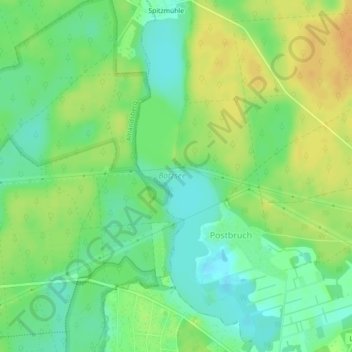
Name: Bötzsee topographic map, elevation, terrain.
Average elevation: 65 m
Minimum elevation: 50 m
Maximum elevation: 81 m
Thank you for supporting this site ❤️
Make a donation
Make a donation
Other topographic maps
Click on a map to view its topography, its elevation and its terrain.
Altlandsberg
Deutschland > Brandenburg > Märkisch-Oderland > Altlandsberg > Altlandsberg
Städte: Altlandsberg | Bad Freienwalde (Oder) | Müncheberg | Seelow | Strausberg | Wriezen. Gemeinden: Alt Tucheband | Beiersdorf-Freudenberg | Bleyen-Genschmar | Bliesdorf | Buckow (Märkische Schweiz) | Falkenberg | Falkenhagen (Mark) | Fichtenhöhe | Fredersdorf-Vogelsdorf | Garzau-Garzin | Golzow |…
Average elevation: 64 m
Paulshof
Deutschland > Brandenburg > Märkisch-Oderland > Altlandsberg > Altlandsberg
Average elevation: 66 m