
Thank you for supporting this site ❤️
Make a donation
Make a donation
Minnetex topographic map
Click on the map to display elevation.
Thank you for supporting this site ❤️
Make a donation
Make a donation
About this map
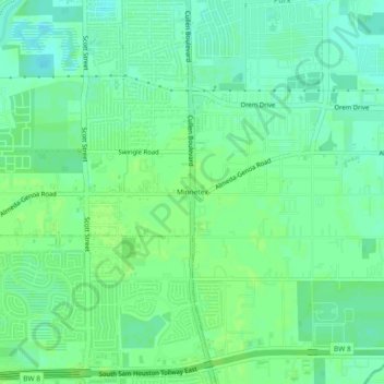
Name: Minnetex topographic map, elevation, terrain.
Average elevation: 16 m
Minimum elevation: 10 m
Maximum elevation: 19 m
Thank you for supporting this site ❤️
Make a donation
Make a donation
Other topographic maps
Click on a map to view its topography, its elevation and its terrain.
original boundary of City of Houston
United States > Texas > Harris County > Houston
Average elevation: 16 m
Thank you for supporting this site ❤️
Make a donation
Make a donation
Addicks Reservoir
United States > Texas > Harris County > Houston
Addicks Reservoir is formed by a rolled earthen dam 61,666 feet (18,796 m) long and above the streambed. A 12-foot-wide (3.7 m) gravel road extends along the top of the dam. The top of the dam has a maximum elevation of 121 feet (37 m) above the NAVD 1988 and is almost 50 feet high in points. The maximum…
Average elevation: 31 m
Thank you for supporting this site ❤️
Make a donation
Make a donation