
Osborne topographic map
Interactive map
Click on the map to display elevation.
About this map
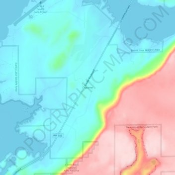
Name: Osborne topographic map, elevation, terrain.
Location: Osborne, Grant County, Washington, 99123, USA (47.88404 -119.08447 47.92404 -119.04447)
Average elevation: 546 m
Minimum elevation: 475 m
Maximum elevation: 725 m