
El Chaltén topographic map
Interactive map
Click on the map to display elevation.
About this map
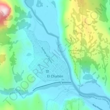
Name: El Chaltén topographic map, elevation, terrain.
Location: El Chaltén, Lago Argentino, Santa Cruz, Argentina (-49.33424 -72.89783 -49.32102 -72.88060)
Average elevation: 489 m
Minimum elevation: 385 m
Maximum elevation: 838 m