
Thank you for supporting this site ❤️
Make a donation
Make a donation
Lutu Village topographic map
Click on the map to display elevation.
Thank you for supporting this site ❤️
Make a donation
Make a donation
About this map
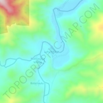
Name: Lutu Village topographic map, elevation, terrain.
Location: Lutu Village, Central, Fiji (-17.82347 178.09365 -17.78347 178.13365)
Average elevation: 256 m
Minimum elevation: 93 m
Maximum elevation: 708 m
Thank you for supporting this site ❤️
Make a donation
Make a donation