
Berville topographic map
Interactive map
Click on the map to display elevation.
About this map
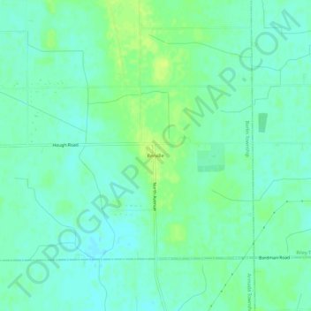
Name: Berville topographic map, elevation, terrain.
Location: Berville, Saint Clair County, Michigan, 48002, United States (42.88836 -82.90298 42.92836 -82.86298)
Average elevation: 243 m
Minimum elevation: 236 m
Maximum elevation: 252 m