
McKenzie Bridge topographic map
Interactive map
Click on the map to display elevation.
About this map
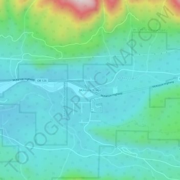
Name: McKenzie Bridge topographic map, elevation, terrain.
Location: McKenzie Bridge, Lane County, Oregon, 97413, USA (44.15482 -122.18331 44.19482 -122.14331)
Average elevation: 521 m
Minimum elevation: 390 m
Maximum elevation: 1,076 m