
Gamharia topographic map
Interactive map
Click on the map to display elevation.
About this map
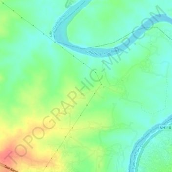
Name: Gamharia topographic map, elevation, terrain.
Location: Gamharia, Seraikela Kharsawan, Jharkhand, 832108, India (22.80738 86.11472 22.84738 86.15472)
Average elevation: 144 m
Minimum elevation: 120 m
Maximum elevation: 190 m