
Thank you for supporting this site ❤️
Make a donation
Make a donation
Warren topographic map
Click on the map to display elevation.
Thank you for supporting this site ❤️
Make a donation
Make a donation
About this map
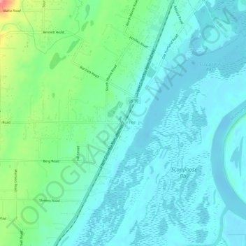
Name: Warren topographic map, elevation, terrain.
Location: Warren, Columbia County, Oregon, 97053, United States (45.79900 -122.86899 45.83900 -122.82899)
Average elevation: 22 m
Minimum elevation: -3 m
Maximum elevation: 107 m
Thank you for supporting this site ❤️
Make a donation
Make a donation
Other topographic maps
Click on a map to view its topography, its elevation and its terrain.