
Thank you for supporting this site ❤️
Make a donation
Make a donation
Edds Mill topographic map
Click on the map to display elevation.
Thank you for supporting this site ❤️
Make a donation
Make a donation
About this map
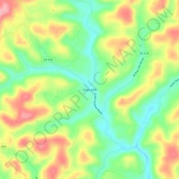
Name: Edds Mill topographic map, elevation, terrain.
Location: Edds Mill, Lee County, Virginia, 24281, United States (36.61231 -83.37990 36.65231 -83.33990)
Average elevation: 465 m
Minimum elevation: 394 m
Maximum elevation: 553 m
Thank you for supporting this site ❤️
Make a donation
Make a donation