
Choussy topographic map
Interactive map
Click on the map to display elevation.
About this map
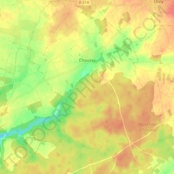
Name: Choussy topographic map, elevation, terrain.
Average elevation: 106 m
Minimum elevation: 75 m
Maximum elevation: 125 m
L'altitude du territoire communal varie de 69 mètres à 117 mètres,.