
Thank you for supporting this site ❤️
Make a donation
Make a donation
Pleasantville topographic map
Click on the map to display elevation.
Thank you for supporting this site ❤️
Make a donation
Make a donation
About this map
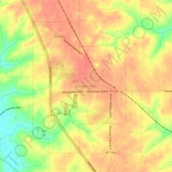
Name: Pleasantville topographic map, elevation, terrain.
Location: Pleasantville, Marion County, Iowa, 50225, United States (41.36677 -93.28948 41.40677 -93.24948)
Average elevation: 271 m
Minimum elevation: 237 m
Maximum elevation: 287 m
Thank you for supporting this site ❤️
Make a donation
Make a donation