
Murrells Inlet topographic map
Interactive map
Click on the map to display elevation.
About this map
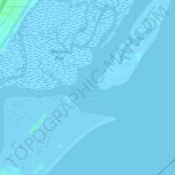
Name: Murrells Inlet topographic map, elevation, terrain.
Average elevation: -1 m
Minimum elevation: -4 m
Maximum elevation: 5 m
Other topographic maps
Click on a map to view its topography, its elevation and its terrain.
Simmonsville
USA > South Carolina > Simmonsville
Simmonsville, Georgetown County, South Carolina, USA
Average elevation: 5 m
Cape Romain National Wildlife Refuge
USA > South Carolina > Awendaw
Cape Romain National Wildlife Refuge, Awendaw, Charleston County, South Carolina, USA
Average elevation: 3 m
Grenadier
USA > South Carolina > Grenadier
Grenadier, Lexington County, South Carolina, 29210, USA
Average elevation: 74 m
Tenmile
USA > South Carolina > Tenmile
Tenmile, Charleston County, South Carolina, 29416, USA
Average elevation: 9 m