
Thank you for supporting this site ❤️
Make a donation
Make a donation
LaFayette topographic map
Click on the map to display elevation.
Thank you for supporting this site ❤️
Make a donation
Make a donation
About this map
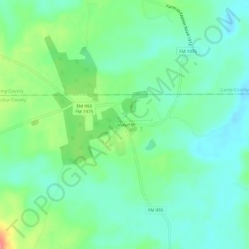
Name: LaFayette topographic map, elevation, terrain.
Location: LaFayette, Upshur County, Texas, United States (32.87834 -94.87603 32.91834 -94.83603)
Average elevation: 103 m
Minimum elevation: 78 m
Maximum elevation: 163 m
Thank you for supporting this site ❤️
Make a donation
Make a donation
Other topographic maps
Click on a map to view its topography, its elevation and its terrain.