
Thank you for supporting this site ❤️
Make a donation
Make a donation
Kaloma topographic map
Click on the map to display elevation.
Thank you for supporting this site ❤️
Make a donation
Make a donation
About this map
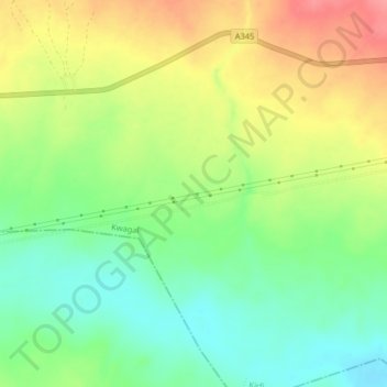
Name: Kaloma topographic map, elevation, terrain.
Location: Kaloma, Kwagal, Kirfi, Bauchi State, Nigeria (10.26063 10.42749 10.30063 10.46749)
Average elevation: 368 m
Minimum elevation: 331 m
Maximum elevation: 415 m
Thank you for supporting this site ❤️
Make a donation
Make a donation