
Fangar topographic map
Interactive map
Click on the map to display elevation.
About this map
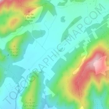
Name: Fangar topographic map, elevation, terrain.
Location: Fangar, Campanet, Raiguer, Islas Baleares, 07310, España (39.79815 2.96804 39.81815 2.98804)
Average elevation: 128 m
Minimum elevation: 48 m
Maximum elevation: 322 m