
Thank you for supporting this site ❤️
Make a donation
Make a donation
Westhoven topographic map
Click on the map to display elevation.
Thank you for supporting this site ❤️
Make a donation
Make a donation
About this map
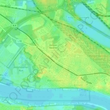
Name: Westhoven topographic map, elevation, terrain.
Location: Westhoven, Porz, Köln, Nordrhein-Westfalen, Deutschland (50.89428 6.99055 50.91485 7.03099)
Average elevation: 49 m
Minimum elevation: 40 m
Maximum elevation: 57 m
Thank you for supporting this site ❤️
Make a donation
Make a donation
Other topographic maps
Click on a map to view its topography, its elevation and its terrain.