
Thank you for supporting this site ❤️
Make a donation
Make a donation
Madge topographic map
Click on the map to display elevation.
Thank you for supporting this site ❤️
Make a donation
Make a donation
About this map
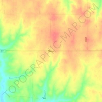
Name: Madge topographic map, elevation, terrain.
Location: Madge, Harmon County, Oklahoma, 73571, United States (34.88033 -99.97844 34.92033 -99.93844)
Average elevation: 583 m
Minimum elevation: 544 m
Maximum elevation: 605 m
Thank you for supporting this site ❤️
Make a donation
Make a donation
Other topographic maps
Click on a map to view its topography, its elevation and its terrain.