
Thank you for supporting this site ❤️
Make a donation
Make a donation
Ikara topographic map
Click on the map to display elevation.
Thank you for supporting this site ❤️
Make a donation
Make a donation
About this map
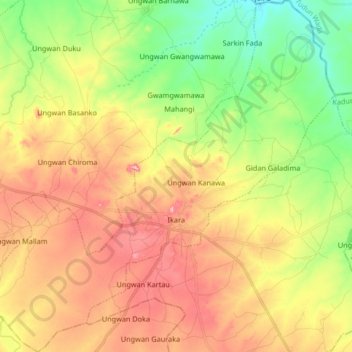
Name: Ikara topographic map, elevation, terrain.
Location: Ikara, Kaduna State, Nigeria (11.11550 8.13336 11.27789 8.29791)
Average elevation: 633 m
Minimum elevation: 551 m
Maximum elevation: 721 m
Thank you for supporting this site ❤️
Make a donation
Make a donation