
Thank you for supporting this site ❤️
Make a donation
Make a donation
Saint John topographic map
Click on the map to display elevation.
Thank you for supporting this site ❤️
Make a donation
Make a donation
About this map
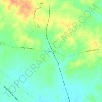
Name: Saint John topographic map, elevation, terrain.
Location: Saint John, Hardin County, Kentucky, 42724, United States (37.67840 -85.98635 37.71840 -85.94635)
Average elevation: 237 m
Minimum elevation: 218 m
Maximum elevation: 265 m
Thank you for supporting this site ❤️
Make a donation
Make a donation
Other topographic maps
Click on a map to view its topography, its elevation and its terrain.