
Thank you for supporting this site ❤️
Make a donation
Make a donation
Kellys Ford topographic map
Click on the map to display elevation.
Thank you for supporting this site ❤️
Make a donation
Make a donation
About this map
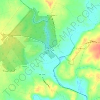
Name: Kellys Ford topographic map, elevation, terrain.
Location: Kellys Ford, Culpeper County, Virginia, 22712, United States (38.45735 -77.79999 38.49735 -77.75999)
Average elevation: 84 m
Minimum elevation: 62 m
Maximum elevation: 115 m
Thank you for supporting this site ❤️
Make a donation
Make a donation