
Thank you for supporting this site ❤️
Make a donation
Make a donation
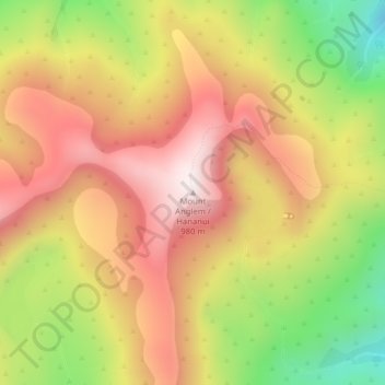
Mount Anglem / Hananui topographic map
Click on the map to display elevation.
Thank you for supporting this site ❤️
Make a donation
Make a donation
Mount Anglem / Hananui
Mount Anglem / Hananui is the highest point on New Zealand's Stewart Island / Rakiura. It is located 20 kilometres (12 mi) northwest of Oban, close to the island's north coast, and rises to an elevation of 980 metres (3,215 ft) above sea level. Following the passage of the Ngāi Tahu Claims Settlement Act 1998, the name of the peak was officially altered to Mount Anglem / Hananui.
Thank you for supporting this site ❤️
Make a donation
Make a donation
About this map
Name: Mount Anglem / Hananui topographic map, elevation, terrain.
Average elevation: 668 m
Minimum elevation: 277 m
Maximum elevation: 976 m
Thank you for supporting this site ❤️
Make a donation
Make a donation