
Thank you for supporting this site ❤️
Make a donation
Make a donation
Kittery topographic map
Click on the map to display elevation.
Thank you for supporting this site ❤️
Make a donation
Make a donation
About this map
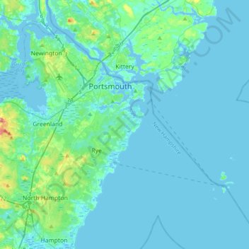
Name: Kittery topographic map, elevation, terrain.
Location: Kittery, York County, Maine, United States (42.92222 -70.77501 43.14829 -70.52937)
Average elevation: 8 m
Minimum elevation: -6 m
Maximum elevation: 76 m
Thank you for supporting this site ❤️
Make a donation
Make a donation
Other topographic maps
Click on a map to view its topography, its elevation and its terrain.
Thank you for supporting this site ❤️
Make a donation
Make a donation
Thank you for supporting this site ❤️
Make a donation
Make a donation