
Taura topographic map
Interactive map
Click on the map to display elevation.
About this map
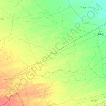
Name: Taura topographic map, elevation, terrain.
Location: Taura, Jigawa, Nigeria (12.15328 9.11355 12.39126 9.61558)
Average elevation: 378 m
Minimum elevation: 364 m
Maximum elevation: 403 m