
Thank you for supporting this site ❤️
Make a donation
Make a donation
La Tuna topographic map
Click on the map to display elevation.
Thank you for supporting this site ❤️
Make a donation
Make a donation
About this map
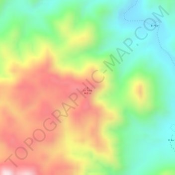
Name: La Tuna topographic map, elevation, terrain.
Location: La Tuna, Choix, Sinaloa, Mexico (26.38827 -108.18756 26.38837 -108.18746)
Average elevation: 709 m
Minimum elevation: 490 m
Maximum elevation: 963 m
Thank you for supporting this site ❤️
Make a donation
Make a donation
Other topographic maps
Click on a map to view its topography, its elevation and its terrain.