
Thank you for supporting this site ❤️
Make a donation
Make a donation
Nohfelden topographic map
Click on the map to display elevation.
Thank you for supporting this site ❤️
Make a donation
Make a donation
About this map
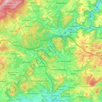
Name: Nohfelden topographic map, elevation, terrain.
Location: Nohfelden, Landkreis St. Wendel, Saarland, 66625, Germany (49.52205 6.99085 49.63943 7.21398)
Average elevation: 432 m
Minimum elevation: 292 m
Maximum elevation: 693 m
Thank you for supporting this site ❤️
Make a donation
Make a donation