
Thank you for supporting this site ❤️
Make a donation
Make a donation
Horse Pasture topographic map
Click on the map to display elevation.
Thank you for supporting this site ❤️
Make a donation
Make a donation
About this map
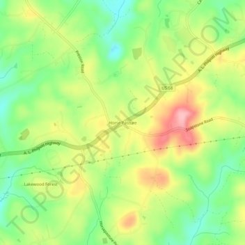
Name: Horse Pasture topographic map, elevation, terrain.
Location: Horse Pasture, Henry County, Virginia, United States (36.60847 -79.97087 36.64847 -79.93087)
Average elevation: 318 m
Minimum elevation: 254 m
Maximum elevation: 397 m
Thank you for supporting this site ❤️
Make a donation
Make a donation
Other topographic maps
Click on a map to view its topography, its elevation and its terrain.