
Retterswil topographic map
Interactive map
Click on the map to display elevation.
About this map
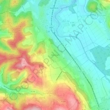
Name: Retterswil topographic map, elevation, terrain.
Location: Retterswil, Seon, Bezirk Lenzburg, Aargau, 5703, Schweiz (47.31545 8.14080 47.35545 8.18080)
Average elevation: 509 m
Minimum elevation: 432 m
Maximum elevation: 637 m