
Jim Edgar Panther Creek State Fish and Wildlife Area topographic map
Interactive map
Click on the map to display elevation.
About this map
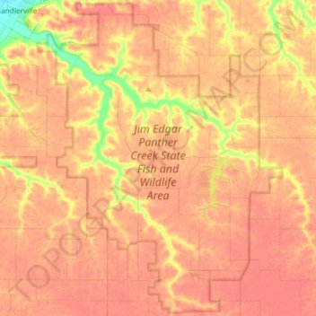
Name: Jim Edgar Panther Creek State Fish and Wildlife Area topographic map, elevation, terrain.
Average elevation: 183 m
Minimum elevation: 137 m
Maximum elevation: 201 m