
Thank you for supporting this site ❤️
Make a donation
Make a donation
Dhapewada topographic map
Click on the map to display elevation.
Thank you for supporting this site ❤️
Make a donation
Make a donation
About this map
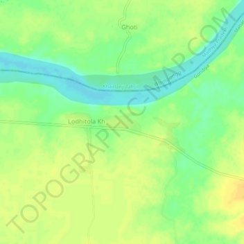
Name: Dhapewada topographic map, elevation, terrain.
Location: Dhapewada, Gondiya Taluka, Gondiya, Maharashtra, India (21.52822 80.03928 21.56822 80.07928)
Average elevation: 279 m
Minimum elevation: 264 m
Maximum elevation: 290 m
Thank you for supporting this site ❤️
Make a donation
Make a donation
Other topographic maps
Click on a map to view its topography, its elevation and its terrain.