
Thank you for supporting this site ❤️
Make a donation
Make a donation
West Sharyland topographic map
Click on the map to display elevation.
Thank you for supporting this site ❤️
Make a donation
Make a donation
About this map
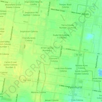
Name: West Sharyland topographic map, elevation, terrain.
Location: West Sharyland, Hidalgo County, Texas, 78573, United States (26.25257 -98.34863 26.29257 -98.30863)
Average elevation: 52 m
Minimum elevation: 41 m
Maximum elevation: 58 m
Thank you for supporting this site ❤️
Make a donation
Make a donation
Other topographic maps
Click on a map to view its topography, its elevation and its terrain.