
Thank you for supporting this site ❤️
Make a donation
Make a donation
Villa Carminiello topographic map
Click on the map to display elevation.
Thank you for supporting this site ❤️
Make a donation
Make a donation
About this map
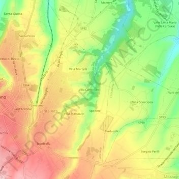
Name: Villa Carminiello topographic map, elevation, terrain.
Location: Villa Carminiello, Lanciano, Chieti, Abruzzo, 66034, Italia (42.21217 14.39873 42.25217 14.43873)
Average elevation: 234 m
Minimum elevation: 135 m
Maximum elevation: 319 m
Thank you for supporting this site ❤️
Make a donation
Make a donation